


After the summer break, the last 30th of August in the framework of the final phase of the project, ConnectEO has organised a final joint session with the project Space2waves. Both projects have been co-funded under the European Union’s COSME Programme: “Clusters GO international” and over the past two years, they have supported Earth observation SMEs in their internationalisation efforts and here below there is a sum-up of the main similarities/differences.
Project
Space2waves
ConnectEO
Participant SMEs
30
19
Target markets
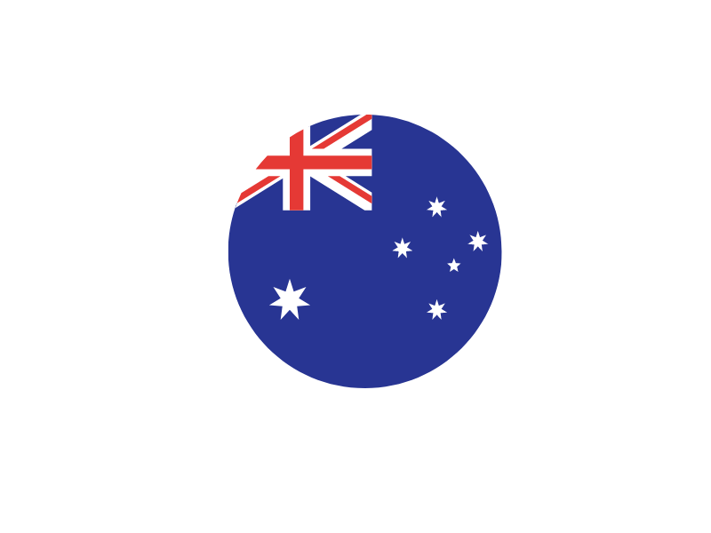
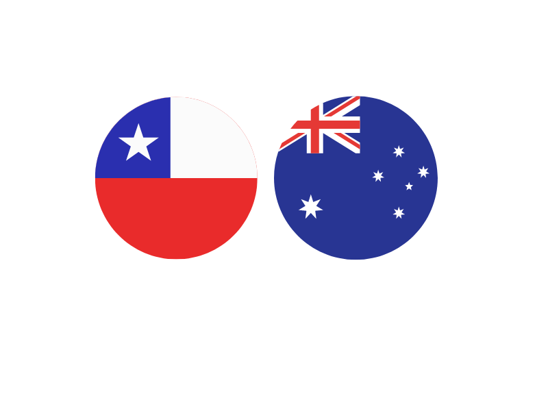
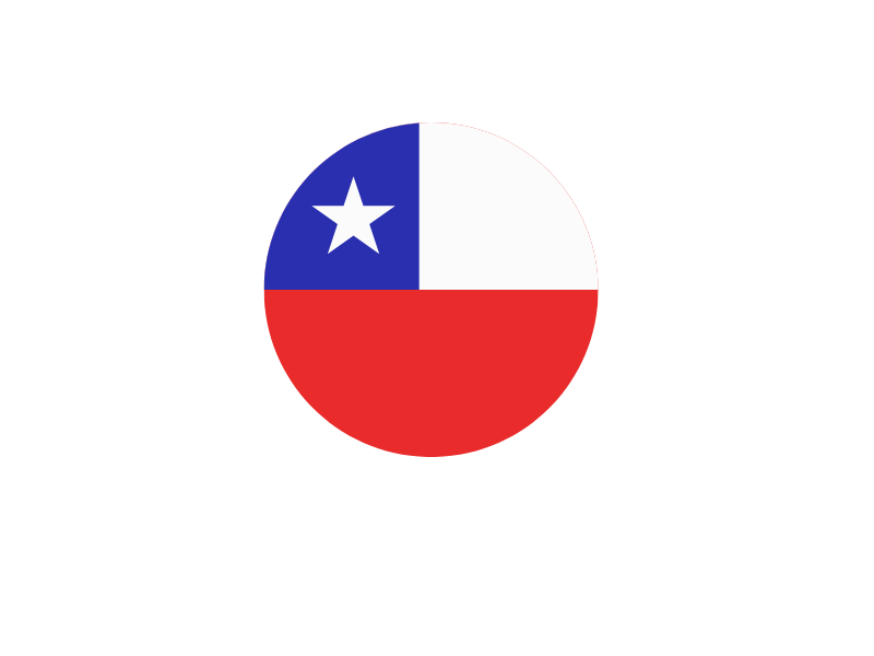
Australia, Canada, South Africa, United Arab Emirates
Australia & Chile
Application sectors
Maritime
Agriculture & maritime
During the session a brief introduction of ConnectEO an Space2waves has been done by the project team members and then the SMEs have presented their experiences. They have shared information about their goals in participating within the projects, what they have gained, the definition of resources for export, the EO, maritime, agricultural opportunities discovered in the target countries, the key takeaways, the pros/cons of the target markets, some of the key actors identified, the lessons learned and recommendations.
You will find below the presenting SMEs and the target sector & markets!
SME/Country
Products/Services
Target downstream sector
Target Market
Geomatys / France
Offers a complete I.T. infrastructure to leverage BigData from satellites, sensors, moving features and other geo-coded databases. It provides the tools and know-how to apply the most cutting-edge terrestrial, marine and space geospatial data to needs across research, industry, government and defense.
Satsense Solutions /United Kingdom
Uses EO technologies to develop business & governance solutions. These include 1) Marine Vessel detection & Oil Slick detection using SAR data; 2) Aquaculture solutions to assess farm site practices, water quality and algal bloom using multispectral data; and 3) Mapping Marine Environments using multispectral and altimetry data.
I-sea / France
Offers EO-based products and services for the environmental monitoring of coastal areas, water and biodiversity.
Engenharia Geografica /Portugal
Focuses on the geomatics sector, specialized in acquiring and editing geospatial information and producing cartography to support projects and carrying out maritime activities. study of coastal areas, bathymetry derivation and pollution detection, all from data acquired by remote sensing.
Orbital EOS / Spain
Develops a digital platform for the detection, characterization and forecasting of oil spills at sea, based on satellite surveillance and advanced ocean modelling.
MayDay / Germany
Develops a real time disaster and risk management intelligence covering multiple disasters – a common operating picture via the Mayday.ai platform and the 24/7 operational centre.
Quantec / Spain
Uses satellite data processing and analysis for monitoring of forest and agricultural areas to provide risk assessment and alert funcionality and to support decision making, e.g. our application GreenAlert for wildfire.
UTW / Spain
Develops CropSense which is a smart decision-making support system in the management of woody and herbaceuous crops, which allows us to optimize water and nutritional resources using new technologies.
The SMEs participating in the session have had the opportunity of presenting their company and also heard about the other SMEs’ internationalisation experiences within the same or other target markets and sectors, they learnt more about opportunities in each country, and discussed possible collaborations.
To discover all the details about the session do not hesitate to watch the recording here
Connecting European Earth Observation to International Markets

The ConnectEO project was funded by the European Union’s COSME Programme (2014-2020) under the grant agreement No 951124.
This website uses cookies so that we can provide you with the best user experience possible. Cookie information is stored in your browser and performs functions such as recognising you when you return to our website and helping our team to understand which sections of the website you find most interesting and useful.
Strictly Necessary Cookie should be enabled at all times so that we can save your preferences for cookie settings.
If you disable this cookie, we will not be able to save your preferences. This means that every time you visit this website you will need to enable or disable cookies again.
More information about our Cookie Policy